Weather Alert in New York
Flood Watch issued February 21 at 2:42AM EST until February 21 at 8:00PM EST by NWS Binghamton NY
AREAS AFFECTED: Steuben; Tompkins
DESCRIPTION: An ice jam may cause water to infiltrate the lowlands along the river. * WHAT...Flooding caused by an ice jam continues to be possible. * WHERE...A portion of central New York, including the following counties, Steuben and Tompkins. * WHEN...Through this evening. * IMPACTS...The combination of recent rain and snowmelt will result in increased flow along rivers and streams in Tompkins and Steuben counties through Saturday. Ice on the rivers may break up, jam downstream and cause flooding along the river. * ADDITIONAL DETAILS... - For Steuben County, ice jams have been reported by county officials along the Canisteo and Cohocton Rivers. The ice jam on the CanisteoRiver is located near West Cameron. The ice jam on theCohocton River is located near the Route 4 bridge about 2 miles upstream from Coopers Plain. For Tompkins County, ice jams have been reported by county officials along the Fall Creek in Ithaca. The ice jam on Fall Creek is located near Beebe Lake and Cornell University in Ithaca. - https://www.weather.gov/safety/flood
INSTRUCTION: You should monitor later forecasts and be alert for possible Flood Warnings. Those living in areas prone to flooding should be prepared to take action should flooding develop.
Want more detail? Get the Complete 7 Day and Night Detailed Forecast!
Current U.S. National Radar--Current
The Current National Weather Radar is shown below with a UTC Time (subtract 5 hours from UTC to get Eastern Time).

National Weather Forecast--Current
The Current National Weather Forecast and National Weather Map are shown below.

National Weather Forecast for Tomorrow
Tomorrow National Weather Forecast and Tomorrow National Weather Map are show below.

North America Water Vapor (Moisture)
This map shows recent moisture content over North America. Bright and colored areas show high moisture (ie, clouds); brown indicates very little moisture present; black indicates no moisture.

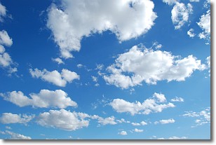
Weather Topic: What are Cumulonimbus Clouds?
Home - Education - Cloud Types - Cumulonimbus Clouds
 Next Topic: Cumulus Clouds
The final form taken by a growing cumulus cloud is the
cumulonimbus cloud, which is very tall and dense.
The tower of a cumulonimbus cloud can soar 23 km into the atmosphere, although
most commonly they stop growing at an altitude of 6 km.
Even small cumulonimbus clouds appear very large in comparison to other cloud types.
They can signal the approach of stormy weather, such as thunderstorms or blizzards.
Next Topic: Cumulus Clouds
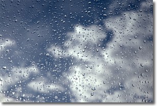
Weather Topic: What is Drizzle?
Home - Education - Precipitation - Drizzle
 Next Topic: Evaporation
Drizzle is precipitation in the form of water droplets which are
smaller than raindrops.
Drizzle is characterized by fine, gently falling droplets and typically does not
impact human habitation in a negative way. The exception to this is freezing drizzle,
a condition where drizzle freezes immediately upon reaching earth's surface.
Freezing drizzle is still less dangerous than freezing rain, but can
potentially result in hazardous road conditions.
Next Topic: Evaporation
Current conditions powered by WeatherAPI.com


